Chrisp Street Map

Unfolded map
Overview
Commission to map out over 80 shops in the historic Chrisp Street market in Poplar, for distribution via printed folded map, on large scale hoardings and online.
Challenge
The whole Chrisp Street market area had never been mapped in it’s entirety, and the current list of shop owners was incomplete and unclassified.
Solution
After chatting with locals and understanding their shopping habits, I decided to pivot away from the standard classification of market shops by type, to the 4 main zones of shopping in the area, as each of these have a unique character - Market Way, Market Square, Mini Stores and Vesey Path.
Rather than focussing on the most well-known or longest serving establishments, I wanted to give each shop, big or small equal billing. After photomontaging the area, I illustrated every building as laid this out by zone on the back of the map, and referenced these with a colour and number key.
To help emphasise each area, I drew the main site from an elevated view from the south, as this is the main route for shoppers, and this allowed me to remove buildings not part of the market.
Finally I added 4 pieces of copy about the history and public art Chrisp Street.
Outcome
Originally an A3 folded map was to be produced. However the client saw real value in the map, and increased this to A2 and distributed this to 3000 homes in the area. The map is being printed and installed to hoardings in the area. I have good feedback that locals can navigate between the shops better than previously using the map.

Reverse of the map, showing all the shops
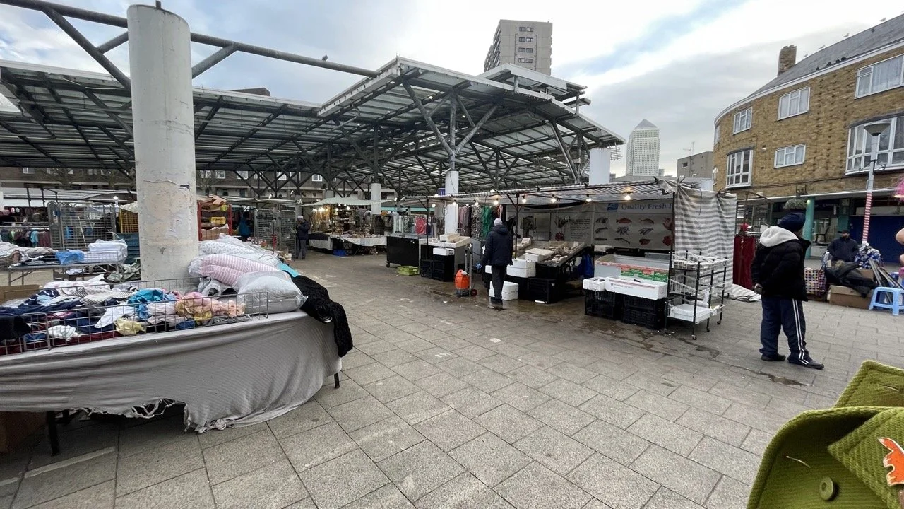
Chrisp Street - Covered market
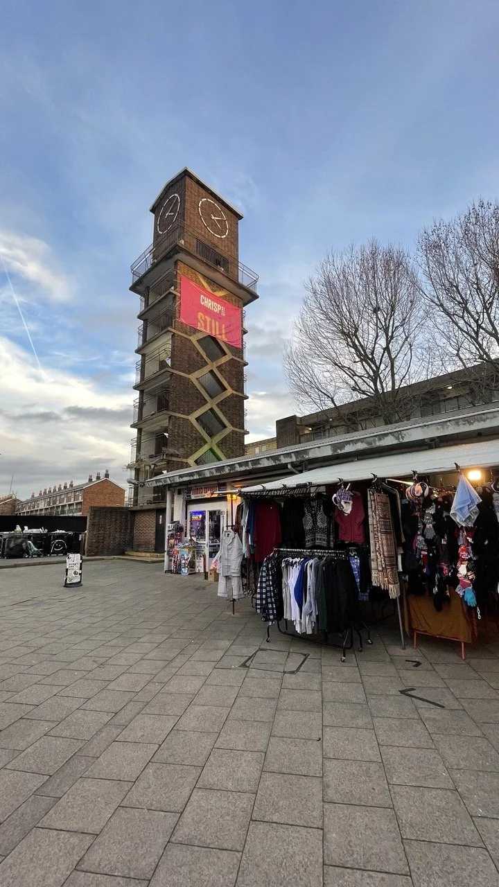
Chrisp Street - Clock Tower
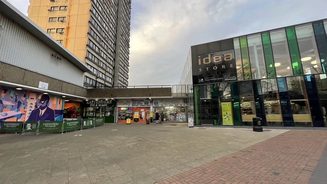
Chrisp Street - East India Dock Road Plaza